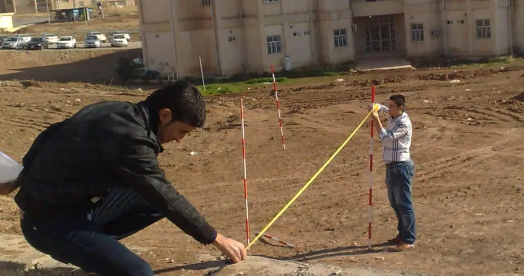
Linear surveying involves measurement of distances between points on the surface of the earth. There are various methods of linear surveying and their relative merit depends upon the degree of precision (accuracy) required.
Methods of Linear Surveying

Linear surveying methods can be broadly divided into three heads:
- Direct measurement
- Measurement by optical means
- Electronic methods
Direct Measurement
In this surveying method, distances are actually measured on the surface of the earth by means of chains, tapes, etc.
Measurement by Optical Means
In this method, observations are taken through a telescope and distances are determined by calculation as in tachometer or triangulation.
Electronic Methods
In these linear surveying methods, distances are measured with instruments that rely on propagation, reflection and subsequent reception of either radio or light waves. The various instruments that are used under the electronic methods are
(i) geodimeter,
(ii) tellurometer,
(iii) decca navigator, and
(iv) lambda position fixing system.
The distance measured in the case of geodimeter is based on the propagation of modulated light waves. The other three instruments use radio waves for distance measurement.

Hi guys, m really so appreciative to the admin of this website, may The Almighty give u more wisdom, thanks 4 such an innovation
are good but very short